Tag: satellite imagery
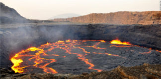
Satellite imagery helps Ethiopia to identify geothermal potential
Satellite imagery is being used in Ethiopia to pinpoint areas with geothermal viability in a country where around 77% of the population lack access...

